
Flood: Sirens prepare for unlikely catastrophe

TVA says dam is safe, siren test prepares for worst case
Tennessee Valley Authority (TVA) officials are quick to say Blue Ridge Dam is safe every time they talk about the structure that forms Blue Ridge Lake.
Fannin County Emergency Management Agency (EMA) Director Patrick Cooke confirmed this assurance last week, saying TVA says the dam is safe “every time they talk about it.”
At the same time, TVA has an extensive safety program in place at the dam. A dam failure siren warning system is part of that system. It is scheduled to be tested tomorrow, Thursday, June 27, between 10 a.m. and 2:30 p.m. Residents near the Toccoa River are encouraged to listen for the sirens.
Fannin EMA will also alert residents through the Hyper-Reach system that will send text messages.
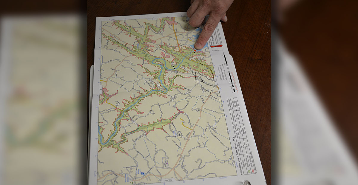
In order for citizens to understand the reach of the sirens, and beware of the potential, worst case scenario in their area, TVA provides maps showing the general area that would be affected by a complete dam failure. Because these maps are general, The News Observer asked Cooke last week, “Just how high would the water rise in the event of a catastrophic dam failure?” Together. we looked at EMA maps indicating the worst possible scenario.
Cooke first said all of Mineral Bluff and McCaysville/Copperhill would be under water, giving a degree of the catastrophe.
The following are points where the flood waters would stop rising, representing a shoreline or river bank. Whatever would be under water, or threatened by the rising water level, would be determined by various factors between the points and the Toccoa River.
Cooke went over several maps, looking at a worst case scenario beginning at Blue Ridge Dam and proceeding downstream along the Toccoa River.
Water would back up along the Weaver Creek watershed all the way to Mineral Springs Center in Blue Ridge. PruittHealth Nursing Home would be above the water level. The Ingles shopping center area, and across Highway 515 to The News Observer office and Blue Ridge Yamaha, would be flooded.
The low lying area around Mineral Bluff as well as the small town itself would be flooded.
Hemptown Creek would back up all the way to Forge Mill Road at Highway 515 and up Cutcane past Old Jerusalem Church Road almost to Knollwood Road.
Young Stone Creek near the old railroad bed would flood and back up. The Tri-State Model Railroaders line would be flooded all the way to Hogback.
Further downstream, Sugar Creek would flood much of the George Curtis Road area. The Hothouse Creek area would flood all the way to Highway 60.
Farther downstream, McCaysville water treatment plant would be underwater, as would Copperhill’s wastewater treatment plant.
Fightingtown Creek’s watershed would back all the way back to Delphi Woods.
Continuing down the Ocoee River, although no maps were available, Cooke said Highway 64 (the River Road) would be underwater. Effects would continue as the water made its way to Chattanooga and beyond.
Cooke stressed the flood area discussed represents the highly unlikely event of a “complete, sudden failure,” of Blue Ridge Dam.
He encouraged everyone who has not signed up for the Hyper-Reach emergency warning system to do so. “Now is a good time to sign up,” he said with the test tomorrow.